An El Niño-fueled storm will barrel into the Valley this weekend after a weeklong break in a wet weather pattern.
A strong storm is expected to arrive in Fresno from the Pacific Northwest Friday evening and bring rain to the Valley, while dumping snow onto the Sierra, said Jeff Barlow, meteorologist at the National Weather Service in Hanford.
Fresno is expected to get around a third of an inch of rain with the storm through Sunday, Barlow said.
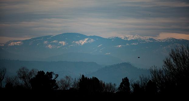
In the higher elevations, Shaver Lake is expected to get nearly 6 to 8 inches of snow, adding to snowpack that’s nearly 100 percent of normal, Barlow said.
Temperatures in Fresno are expected to be moderate because of the storm. The city warms to 65 during the day, while lows will dip to only 51 Friday night. The trend continues with 58 degrees is expected Saturday, with lows only dropping to 43.
On Sunday, temperatures could reach 54 as Fresno could see isolated thunderstorms brings pea-sized hail and frequent lightning, Barlow said. Temperatures could drop to 37 Sunday night after the cold front arrives.
The storm, called an atmospheric river, is a weather event that’s essentially a river of moisture in the sky, Barlow said. It taps moisture in the Pacific and dumps rain and snow onto the West Coast during the winter.
California receives 30 to 50 percent of its yearly rainfall and snowfall through these atmospheric river events, Barlow said.
While the state’s water supply greatly depends on this phenomenon, atmospheric rivers are actually a narrow band of moisture that’s only 200 miles wide and lasts 6 to 12 hours, Barlow said.
Normally, the amount of rain California gets during an atmospheric river can vary; there’s a bigger chance for a drenching rain during an El Niño year.
During an El Niño year, “there’s more water in the bucket to lift northward,” Barlow said.


