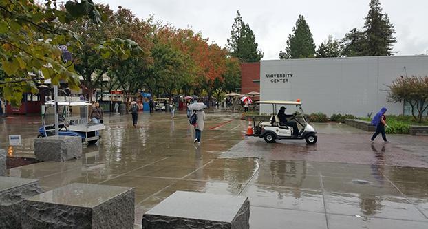
The first storm of the season hit earlier this week and it will not be long before we are soaked again.
The cold storm that drenched Fresno Monday tallied up a total of 0.85 inches of rain, which more than doubled last year’s rain totals 0.40 inches, said Carlos Molina, a meteorologist at the National Weather Service in Hanford. These totals put Fresno in the running to reach normal precipitation levels for the month, 1.07 inches.
This first drops of rain could be the beginning of El Niño, a weather phenomenon which causes increased rainfall across the some part of the U.S. and Peru, Molina said.
“The El Niño allows for more water to be held in the atmosphere,” Molina said. “These storms will really dump on us as they pass through.”
Although we are still at a 0.6, about a quarter of an inch of rain, a deficit for the normal rainfall range in this time of year, the goal will be met soon.
“All it takes is one more storm similar to the one we got to reach normal levels,” Molina said.
The much-needed storm is already making its way to the Central Valley and is estimated to reach the Fresno County late this week or during the weekend, Molina said. The storm has acquired its needed strength in Alaska, the Pacific Northwest, which is now moving its way down to California.
The snow levels will be around 5,000 feet for the next couple storms.
The active weather pattern will bring shorter rest periods between storms, Molina said. He added that the next storm is estimated to mid-next week.
“For the next few weeks we are going to be 5 to 7 days between storms,” Molina said.”
From now on any temperature above the low 70s will be rare. The temperature will tend to rise between storms, but once the storms hit temperatures will be at or below normal between the 50s and the 60s.


